Why tomorrow’s surveyors will only use 3D scanning

Scan to BIM is the future; and with it 3D laser scanning is leaving traditional surveying behind.
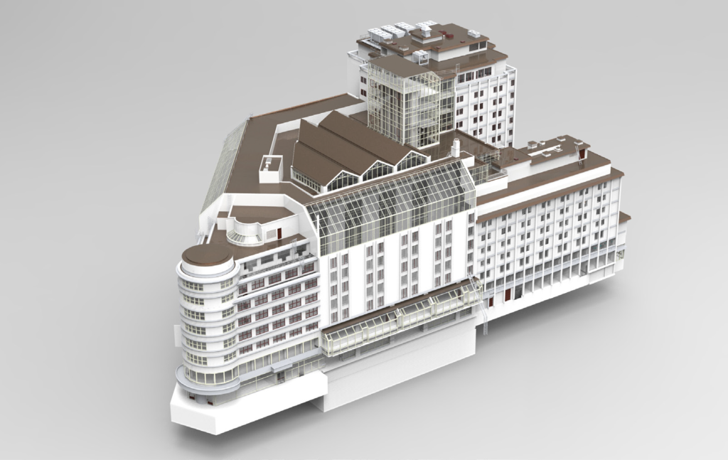
As the government presses ahead with its commitment to Level 3 BIM for the Digital Build Britain programme, the benefits of 3D laser scanning and modelling are coming into sharp relief.
The 41% increase in BIM adoption by construction professionals from 2010 to 2015 demonstrates architects’ enthusiasm for the technique, and its effectiveness in helping model construction projects.
Accuracy
3D laser scanning eliminates human error by using point cloud data to capture as much detail as possible. Hundreds of thousands of points are captured each second in each direction, which produces a dense and expansive collection of individual
measurements known as a ‘point cloud’.
How much detail is captured depends on scanner settings, which can vary from two minute to one-hour scans, capturing a higher density of points, greater clarity and detail. The extraordinary accuracy achievable by 3D laser scanning surpasses that of traditional surveying, can reach sub 1mm precision if required. The more detail collected, the more informative the 2D drawing or 3D model.
The accuracy achievable by 3D laser scanning can reach sub 1mm precision
Cutting costs
Due to the speed and convenience of scanning, costs are remarkably cost effective compared to traditional methods of surveying. These lower costs for a measured survey are far more noticeable on larger or more detailed projects, where scale and detail can become problematic using traditional methods.
The convenience with which information can be retrieved from the point cloud data plays an important part in reducing design
time on a building, which in turn cuts the project length and potentially the overall cost to the client. This is particularly useful to architects, structural and mechanical and electrical engineers, who benefit greatly from the superior visualisation of BIM models compared to traditional drawings.
Convenience
The variable levels of detail to which the instruments can be set using 3D scanning allows for the most suitable scan to be used in each situation. Should additional information be required there is no need for return visits to site as the whole property is contained within one point cloud file. Information can be extracted from any point in the building to produce additional drawings. As well as cutting time on site this results in less disturbance to occupants.
Co-operation
The BIM models are collaborative, and the model can be used at any point by the project team. For example, once the base model is created and 2D drawings produced, a 3D model can also help the quantity surveyor to assess project costs – while giving architects and structural engineers information on design, rights of lights analysis, mechanical and electrical 3D drawings and underground drainage and services, and a host of other data.
BIM and 3D scanning are speeding precision and efficiency in construction. An increasingly crucial part of architecture and design today, it is the industry standard of the future. When creating drawings or models of high level detail, visual access may not be possible using terrestrial surveying methods, but aerial surveying techniques via drones / UAVs (unmanned aerial vehicles) are now being used with high levels of accuracy. This will be discussed in further detail next month.
ARENA PROPERTY SERVICES LTD
Tel: 020 7837 7721
Email: surveys@arena-ps.com
Web: www.arena-ps.com